How a pair of coordinates becomes a street map artwork
This tool never loads a map. There are no satellite tiles, no street databases and no network requests of any kind. Instead, your latitude and longitude are turned into an integer seed, and that seed drives a small deterministic pseudo-random generator called mulberry32. The two decimal values are written to six decimal places and hashed with the FNV-1a algorithm, so the coordinates 48.856600, 2.352200 always produce exactly the same street grid, on every browser, tomorrow and ten years from now. Move the marker by even one ten-thousandth of a degree and you get a genuinely different neighborhood.
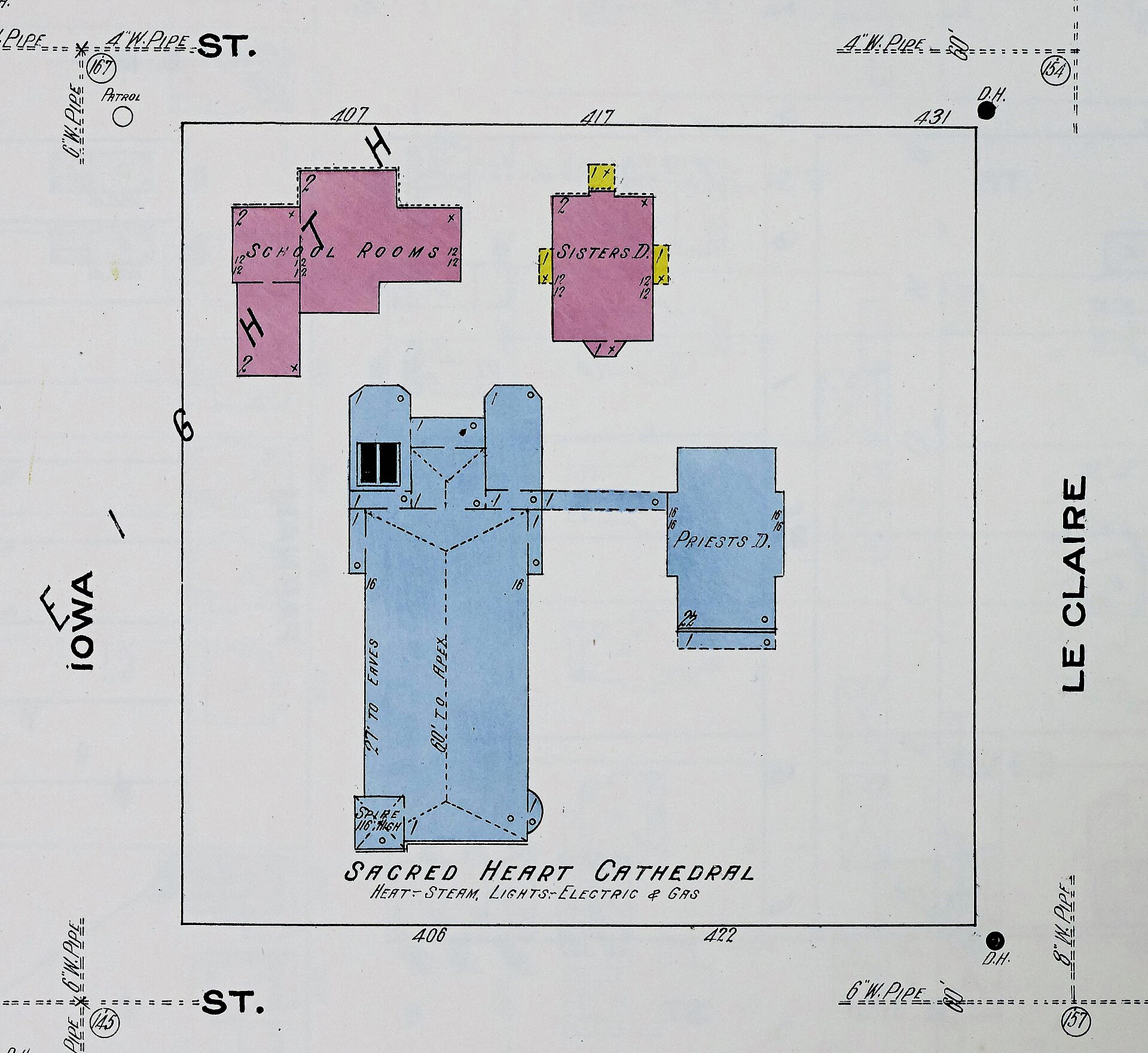
From that single seed the generator lays out a dense street grid: a set of vertical and horizontal roads spaced across the poster area, each with its own small seeded wobble so the city feels organic rather than mechanical. Two or three roads in each direction are promoted to grand boulevards and drawn with a thick bright casing and a dashed center line, while the ordinary side streets stay thin and quiet. The rectangles enclosed between the roads are city blocks, and every block receives a subtle tonal variation from the same seed, which is why some quarters read as dense and dark while others feel open. One or two blocks are replaced by softly rounded park polygons in a muted green, and a wide river crosses the map as a smooth bezier curve with its own darker bank.
Exactly over the chosen point, the poster places a heart or a star. The margin then carries the typography: your main title, a subtitle, and the place written in two coordinate languages. Decimal degrees are printed first, then the same location converted to degrees, minutes and seconds with hemisphere letters. Four color themes are offered — Blueprint with white lines on a deep cyan-blue ground, a monochrome Noir press, Midnight with gilded boulevards on navy, and a warm Sand edition for light interiors.
Print-ready, private and free
The live preview is a light rendering for speed. When you press Download, the entire poster — every road, block, park, river curve and line of text — is repainted from scratch at 300 dots per inch in your chosen print size, from A4 and A3 to large gallery formats and a twelve-inch square. Nothing is sent anywhere: coordinates, titles and the generated image stay on your device, there is no account and no watermark, and the finished PNG is ready to frame or give as a gift.
一对坐标如何变成一幅街道地图艺术
本工具从不加载任何地图:没有卫星瓦片、没有道路数据库,也没有任何形式的网络请求。你的纬度与经度会先被转换成一个整数种子,由一个名为 mulberry32 的确定性伪随机生成器驱动全部画面。两个小数值会先写到小数点后六位,再用 FNV-1a 算法哈希成整数种子,因此 48.856600、2.352200 这对坐标在任何浏览器上、无论明天还是十年后,都永远生成同一张街道网格。只要把标记移动万分之一度,你就会得到一个全然不同的街区。
从这一颗种子出发,生成器铺出一片密集的街道网格:若干纵路与横路贯穿画面,每条路都带有由种子决定的轻微摆动,让城市显得自然生长而非机械排列。每个方向上有两三条路被提升为主干大道,用粗亮的描边与虚线中线绘制,其余支路则保持纤细安静。道路之间围成的矩形是街区,每个街区都从同一种子获得微妙的明暗变化,于是有的城区显得密实深暗,有的疏朗开阔。一到两个街区会被替换成圆角处理的公园多边形,覆以沉静的绿色;一条宽阔的河流则以平滑的贝塞尔曲线横穿地图,带着更深的河岸描边。
在所选坐标的正上方,海报放置一颗心形或星形标记。四周留白承担排版:主标题、副标题,以及用两种坐标语言写下的地点——先是十进制度,再是同一位置换算后的度分秒,并标注半球字母。配色提供四种主题:深青蓝底白线的蓝图风、黑白单色的胶片风、深夜蓝底鎏金大道的午夜风,以及适合浅色家居的暖沙风。
可直接印刷、保护隐私、完全免费
实时预览只是为流畅操作而做的轻量渲染。点击下载时,整张海报——每一条道路、每一个街区、公园、河流曲线与每一行文字——都会按你选择的尺寸以每英寸 300 点从零重绘,从 A4、A3 到大型画廊尺寸与十二英寸方形一应俱全。任何数据都不会离开你的设备:坐标、标题与生成的图片始终留在本地,无需注册、没有水印,得到的 PNG 可直接装框或作为礼物送出。
Is this the real map of my coordinates?
No — and that is deliberate. It is a stylized street-grid artwork inspired by your coordinates, not a navigational chart. What is real is the determinism: your exact latitude and longitude define the seed, so the same place always yields the same composition, and changing the coordinates changes the city. Use our coordinates converter first if you need the precise decimal or DMS value.
这是我坐标位置的真实地图吗?
不是,这是有意为之的设计:它是一幅由你的坐标启发的风格化街道网格艺术,而非导航用图。真实的是它的确定性——你给出的精确经纬度决定了种子,所以同一地点永远生成同一幅构图,坐标一变城市即变。如果你需要精确的十进制或度分秒数值,可以先用我们的坐标转换器。
Why do the same coordinates always draw the same poster?
Because randomness is never used directly. Latitude and longitude are formatted to six decimals, hashed with FNV-1a into a 32-bit integer, and fed to mulberry32. Every road wobble, block shade, park and river bend downstream is then a pure function of that seed. You can close the browser, reopen it and type the same numbers — every line lands where it was before, which is exactly what a keepsake print should do.
为什么相同坐标总是画出同一张海报?
因为画面从不直接使用随机数。经纬度先被格式化为六位小数,经 FNV-1a 哈希为 32 位整数,再喂给 mulberry32;此后每条道路的摆动、每个街区的明暗、公园与河流的弯曲,都是这颗种子的纯函数结果。你可以关掉浏览器再重新打开,输入同样的数字,每一条线都会回到原来的位置——这正是一件值得长久保存的印刷品应有的品质。
Will the downloaded file print well?
Yes. Export repaints the artwork at 300 DPI in your exact chosen size, so lines and typography stay crisp when enlarged. Choose genuine matte or photo paper for the deepest contrast, especially with the Noir and Midnight themes, and the Sand edition looks particularly warm on natural textured stock.
下载的文件印刷效果好吗?
很好。导出时会严格按你选择的尺寸以 300 DPI 重绘,线条与文字放大后依然锐利。建议使用真正的哑光纸或相纸以获得最深的对比,胶片风与午夜风尤其明显;暖沙风在自然纹理纸张上则会显得格外温暖。